FREE HAT ON ALL ORDERS $300+
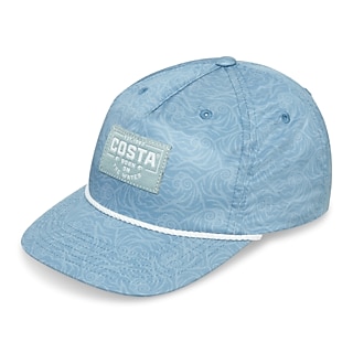
For a limited time only, get a FREE Printed Unstructured hat for World Oceans Day on all orders of $300+ - but only while supplies last.
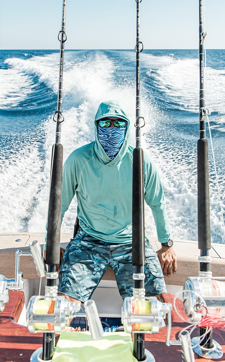
Polarized Sunglasses
At Costa Del Mar, we specialize in polarized sunglasses that cater to the adventurous spirit of both men and women. All our sunglasses are fully polarized, providing superior clarity and reducing glare, making them essential for fishing, boating, and any outdoor activities under the sun. With innovative lens technology, you’ll experience vibrant colors and enhanced vision, allowing you to spot fish beneath the water’s surface or enjoy breathtaking views. Our collection features a range of frames designed for performance and comfort, ensuring a secure and reliable fit for any face shape. Plus, we offer free shipping and returns, making it easier than ever to find your ideal pair. Explore our selection today and enhance your outdoor experience with Costa Del Mar’s premium polarized sunglasses!